Arctic Blast Grips the U.S.: Snow, Floods, and Record Cold
Arctic Blast Grips the U.S. Amid Snow and Floods
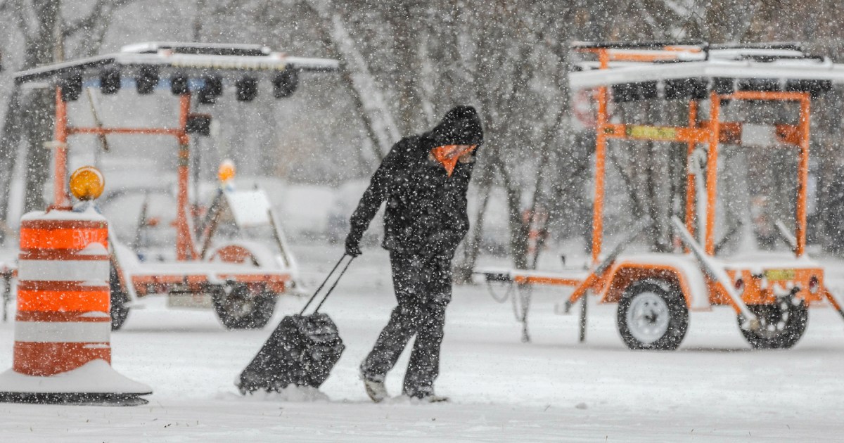
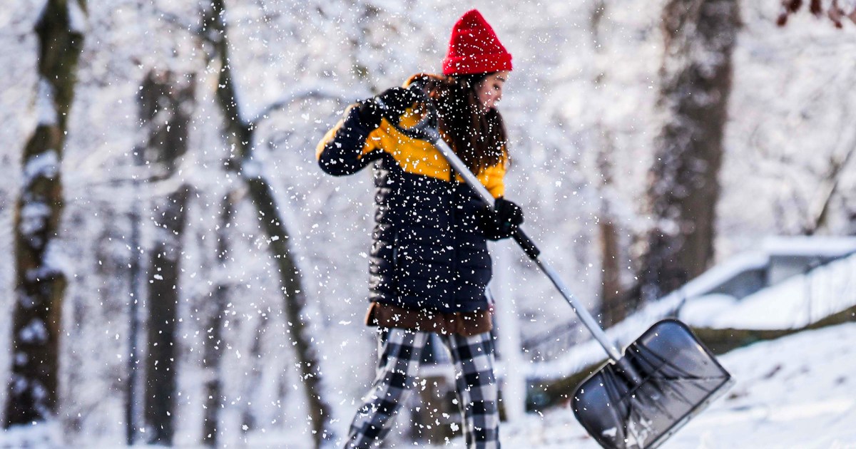
A powerful winter storm is unleashing arctic temperatures, heavy snow, and catastrophic flooding across the United States this weekend, impacting 60 million people with brutally cold air from a split polar vortex.[3][1] Temperatures plunge 25-35°F below normal, bringing subzero conditions to the Midwest, Great Lakes, and Northeast, where wind chills pose life-threatening hypothermia and frostbite risks in under 30 minutes.[1]
Regional Impacts and Hazards
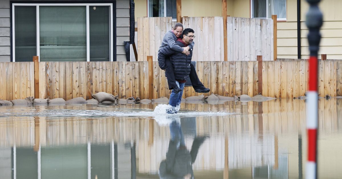
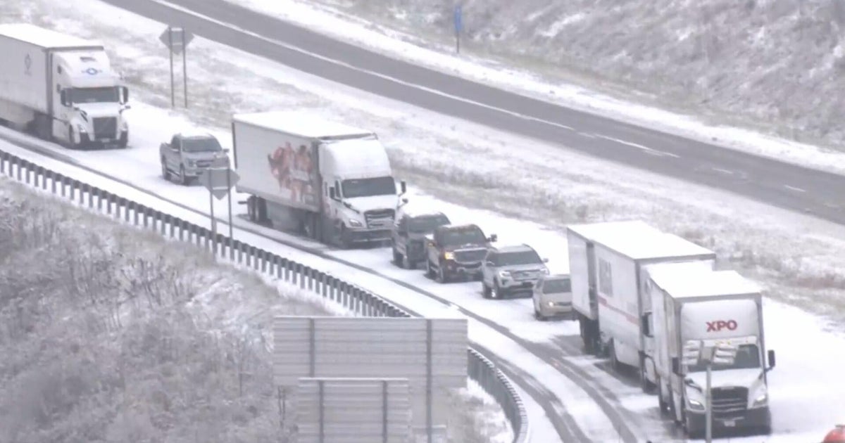
In the Pacific Northwest, rivers swell with ongoing flood warnings despite drier skies, while the Great Lakes face 4-14 inches of lake-effect snow, creating hazardous travel across nine states.[1][2] The frigid air surges southeast toward the Mid-Atlantic and Gulf Coast by Monday, December 15, disrupting daily life with winter storm warnings and dangerous conditions.[1][5]
Forecast and Safety Tips
Expect continued cold through December 15, with heavy snow easing slightly but rivers remaining elevated.[1] Prepare by layering clothing, limiting outdoor exposure, and monitoring local alerts to stay safe amid this historic blast fueled by La Niña patterns.[4]