DC Area Weekend Snow Outlook: Light Snow, Cold Blast Sunday

Brace for snow and then a blast of cold in D.C. area Sunday
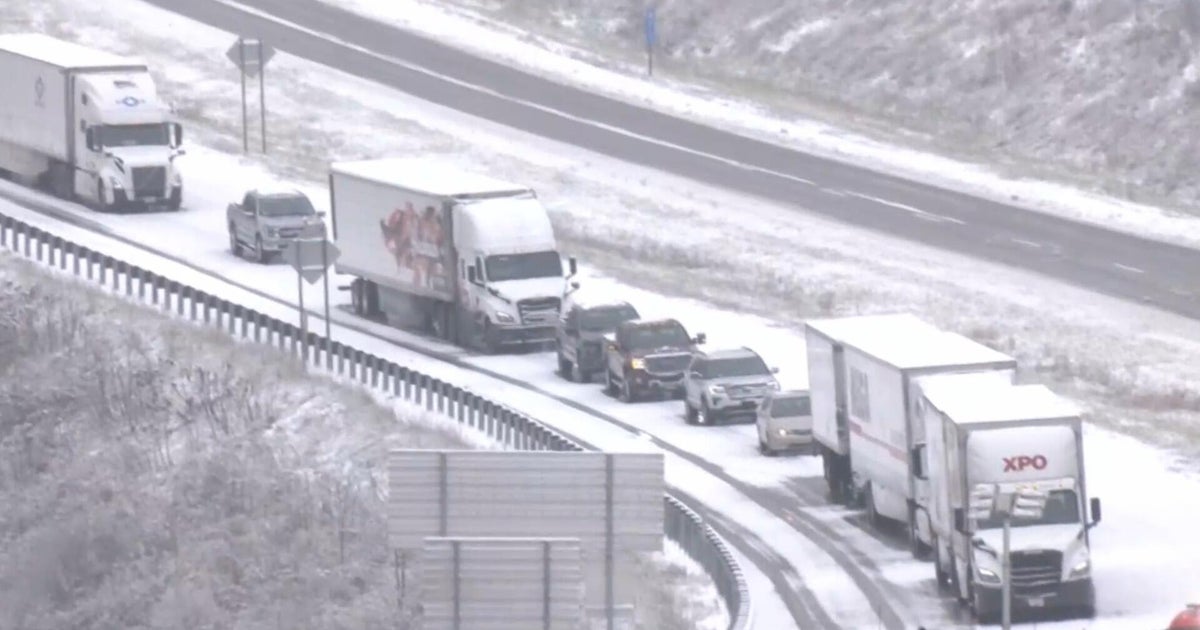
A late Saturday night snow band is expected to drop about one to two inches across much of the Washington, D.C., area before daylight Sunday, with the highest amounts in suburbs farther from the Potomac. This light accumulation will likely make untreated surfaces slick during the overnight and morning commute, especially on bridges and overpasses.
Timing, impacts and what to expect
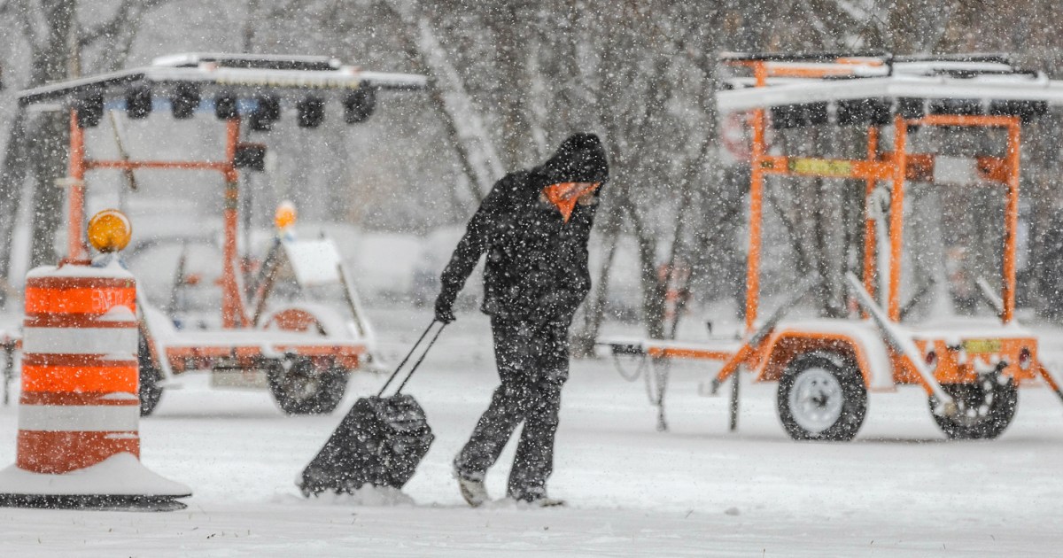
Snow should arrive late Saturday and taper by midmorning Sunday, followed by a sharp temperature drop and gusty winds that will create a raw, wind-chill feel. Travelers should allow extra time, check local advisories, and prepare for reduced visibility during the heaviest snow. While major travel disruptions are unlikely with modest totals, nighttime refreeze and blowing snow could create hazardous pockets, so plan accordingly for outdoor errands and vulnerable populations.