Heavy Snow Threatens Central Georgia, Atlanta Dodges Major Hit

Heavy Snow Threatens Central Georgia, Atlanta Dodges Major Hit
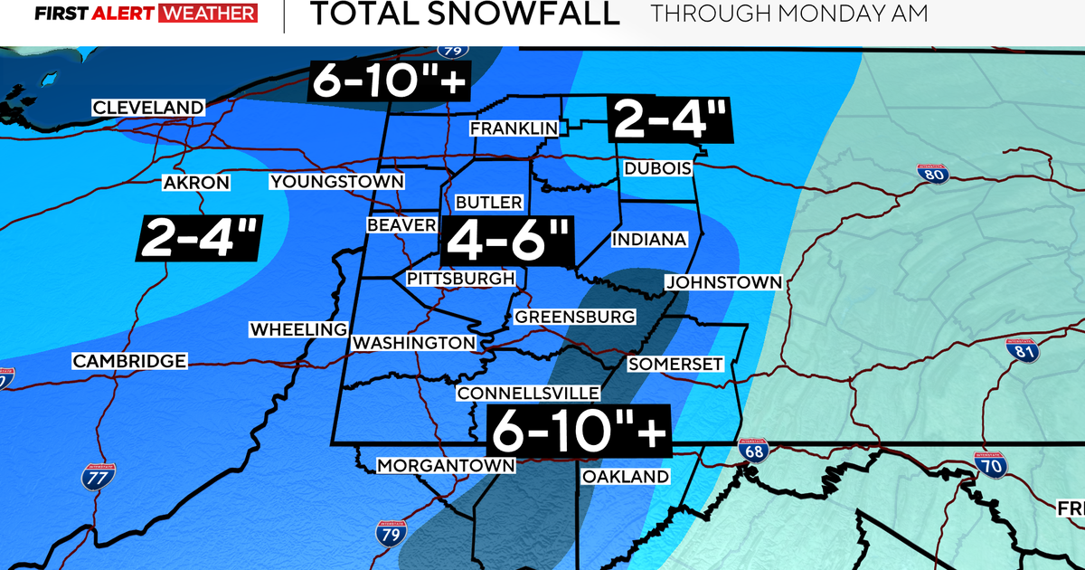
Central Georgia braces for significant snow impacts overnight Saturday into Sunday afternoon, while metro Atlanta largely escapes the worst. The National Weather Service highlights a diagonal band from Columbus through Macon to Warrenton as the prime target, with accumulations potentially reaching 1 to 3 inches in isolated spots.[1][2]
Timing and Alerts: What to Expect
A winter storm warning covers west-central areas like Macon, Warner Robins, and Dublin from 3 a.m. to 1 p.m. Sunday, forecasting heavy snow between 6 and 11 a.m. that could snarl travel on Interstates 75 and 16. South of I-85, rain transitions to wintry mix as temperatures plunge below freezing around 4 to 8 a.m., persisting until early afternoon. A winter weather advisory includes edges of metro Atlanta, such as Henry and Spalding counties, with up to an inch possible.[1][2][4]
Travel Disruptions and Refreeze Risks
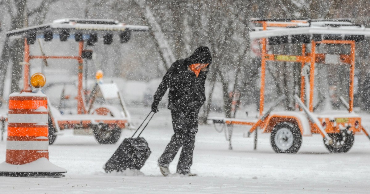
Impacts peak Sunday morning, urging caution for drivers; delay trips if feasible. Post-snowfall, Sunday night into Monday brings refreeze dangers with lows in the 20s to 30s, creating black ice on treated roads. Coastal spots see only cold rain, but central zones face slick conditions.[2][3][4]
About the Organizations Mentioned
National Weather Service
The **National Weather Service (NWS)** is a U.S. federal agency under the National Oceanic and Atmospheric Administration (NOAA) dedicated to providing weather, hydrologic, and climate forecasts and warnings across the United States, its territories, and adjacent waters. Its primary mission is to protect life and property and enhance the national economy by delivering timely, accurate, and science-based environmental predictions[1][2][5][6]. Founded in the late 1800s, the NWS has evolved into a comprehensive weather monitoring and forecasting organization. It operates through a nationwide infrastructure comprising 122 Weather Forecast Offices (WFOs), 13 River Forecast Centers (RFCs), and 9 specialized national centers including the National Hurricane Center, Storm Prediction Center, and Space Weather Prediction Center, among others[1][3][4]. These centers utilize advanced technology such as Doppler radars (WSR-88D), satellite data, automated surface observing systems, and sophisticated computer models to gather and analyze atmospheric data continuously[7]. Key achievements of the NWS include the development of impact-based decision support services that aid emergency management, aviation, marine operations, and the general public in preparing for hazardous weather events. The agency issues around 1.5 million forecasts and 50,000 warnings annually, significantly contributing to disaster preparedness and response efforts[4][6]. The 2011 Strategic Plan emphasizes building a “Weather-Ready Nation” by leveraging advancements in science and technology to anticipate future service needs and improve societal resilience to weather-related threats[4]. Currently, the NWS employs about 4,800 staff members and operates with a budget nearing $930 million. Its organizational structure includes a Chief Information Officer, Chief Financial Officer, and multiple operational and scientific divisions that ensure continuous innovation and service improvement. The agency’s commitment to integrating hydrologic and climate data with weather forecasting positions it as a critical player in environmental intelligence, supporting both governmental and private sectors[2][3][5