Widespread Precipitation Arrives Across California and Oregon: Flood Risks, Snow, and Travel Impacts

Widespread Precipitation Arrives Across California and Oregon
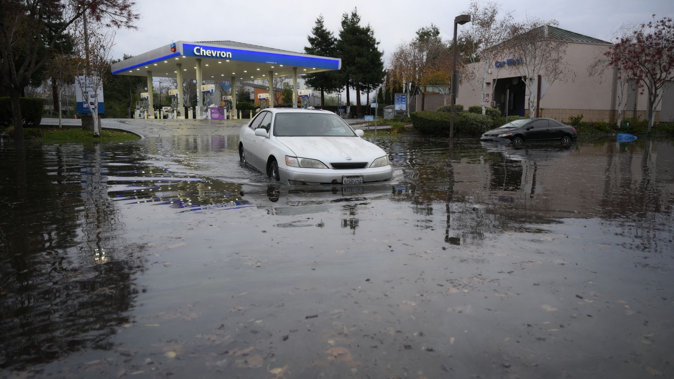
A significant weather system is bringing heavy rainfall and snow to California and Oregon this week. Starting mid-February, two mid-level troughs with associated surface lows will deliver widespread precipitation across the region through February 19. Northern California faces the highest flooding risk, with 2-4 inches of rain expected along coastal areas and 4-8 inches in the Sierra Nevada foothills.
Snow Threats and Travel Disruptions
Mountain passes will experience substantial snowfall as snow levels drop to 4,500 feet. Donner Pass in California could receive several feet of snow, potentially forcing temporary closures. The Cascades in Washington and Oregon will also see winter conditions, though lighter precipitation is expected there. Travelers should prepare for hazardous wintry conditions throughout the week.
Long-Term Weather Outlook
This precipitation marks a critical shift from recent drought conditions affecting California and Nevada. Extended forecasts favor above-normal precipitation and cooler temperatures persisting through early March, bringing much-needed relief to the region's depleted snowpack and water supplies.
```